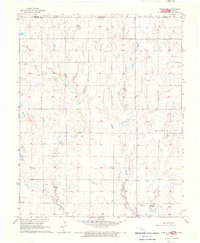
1968 Map of Wakita NE
USGS Topo · Published 1970About this map
The Wakita Trend Gas Field defines the industrial character of this landscape along the border of Grant County, Oklahoma, and the Kansas state line. Surveyed in the mid-1960s, the terrain is shaped by the winding paths of Pond Creek and Sandy Creek, which cut through the township divisions of Jarvis and Hickory. The presence of an Oil Well and a Drill Hole in the northwestern section highlights the active petroleum and natural gas exploration that moved across the northern plains during this era.
Find a feature on this map
13 named features on this map. Tap any name to fly to it.
Don’t see what you’re looking for? This feature index may not catch every label — zoom into the map to look around manually.
Map Details
Editions of this 1968 Wakita NE Map
This is the sole edition of this map. No revisions or reprints were ever made.
Other maps of this area

1889 · Caldwell
USGS Topo · 1:125,000

1893 · Caldwell
USGS Topo · 1:125,000

1897 · Caldwell
USGS Topo · 1:125,000

1955 · Wichita
USGS Topo · 1:250,000

1955 · Enid
USGS Topo · 1:250,000

1958 · Enid
USGS Topo · 1:250,000

1958 · Wichita
USGS Topo · 1:250,000

1968 · Wakita
USGS Topo · 1:24,000

1968 · Wakita SE
USGS Topo · 1:24,000

1968 · Renfrow
USGS Topo · 1:24,000