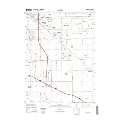
2013 Map of Walbridge
USGS Topo · Published 2013About this map
The suburban and industrial expansion southeast of Toledo is clearly defined on this 2013 survey, where the borders of Oregon, Northwood, and Walbridge meet. The landscape is a transition from residential developments like Biltmore Gardens and Woodville Gardens to the critical transportation infrastructure of the CSX rail lines and the Toledo Executive Airport. This era reflects a densely populated corridor where historical township lines between Lucas, Wood, and Ottawa counties intersect.
Find a feature on this map
80 named features on this map. Tap any name to fly to it.
Don’t see what you’re looking for? This feature index may not catch every label — zoom into the map to look around manually.
Map Details
Editions of this 2013 Walbridge Map
This is the sole edition of this map. No revisions or reprints were ever made.
Other maps of this area

1900 · Maumee Bay
USGS Topo · 1:62,500

1900 · Toledo
USGS Topo · 1:62,500

1901 · Bowling Green
USGS Topo · 1:62,500

1901 · Elmore
USGS Topo · 1:62,500

1903 · Bowling Green
USGS Topo · 1:62,500

1903 · Elmore
USGS Topo · 1:62,500

1934 · Reno Beach
USGS Topo · 1:24,000

1934 · Point Place
USGS Topo · 1:24,000

1934 · Rossford
USGS Topo · 1:24,000

1935 · Walbridge
USGS Topo · 1:24,000