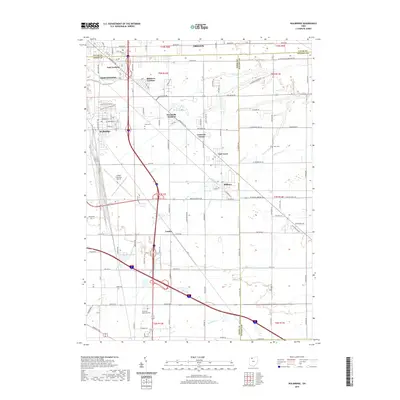
2019 Map of Walbridge
USGS Topo · Published 2019About this map
Walbridge and the surrounding suburban townships southeast of Toledo define this 2019 survey, illustrating a landscape where residential developments and agricultural roots exist in close proximity. The village of Millbury and the city of Northwood anchor the southern and western portions of the quadrangle, while the northeastern corner reaches into Oregon. This area is characterized by several named residential pockets such as Woodville Gardens, Biltmore Gardens, and East Gardens, reflecting the mid-century to modern growth patterns of the region.
Find a feature on this map
60 named features on this map. Tap any name to fly to it.
Don’t see what you’re looking for? This feature index may not catch every label — zoom into the map to look around manually.
Map Details
Editions of this 2019 Walbridge Map
This is the sole edition of this map. No revisions or reprints were ever made.
Other maps of this area

1900 · Maumee Bay
USGS Topo · 1:62,500

1900 · Toledo
USGS Topo · 1:62,500

1901 · Bowling Green
USGS Topo · 1:62,500

1901 · Elmore
USGS Topo · 1:62,500

1903 · Bowling Green
USGS Topo · 1:62,500

1903 · Elmore
USGS Topo · 1:62,500

1934 · Reno Beach
USGS Topo · 1:24,000

1934 · Point Place
USGS Topo · 1:24,000

1934 · Rossford
USGS Topo · 1:24,000

1935 · Walbridge
USGS Topo · 1:24,000