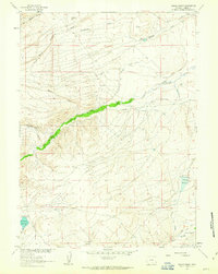
1961 Map of Walck Ranch
USGS Topo · Published 1963About this map
Walck Ranch and the small settlement at Blydenburg anchor this 1961 field-checked landscape in Carbon County, Wyoming. The terrain is defined by an intricate network of irrigation and water management, necessary for sustaining high-plains agriculture. Extensive systems such as the Blydenburg and Morgan North Ditch, Marion Ditch, and Haines Ditch demonstrate the effort to channel water across the draws and flats.
Find a feature on this map
30 named features on this map. Tap any name to fly to it.
Don’t see what you’re looking for? This feature index may not catch every label — zoom into the map to look around manually.
Map Details
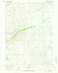
Editions of this 1961 Walck Ranch Map
2 editions found
Other maps of this area

1893 · Fort Steele
USGS Topo · 1:125,000

1932 · Savery
USGS Topo · 1:96,000

1939 · Saratoga
USGS Topo · 1:125,000

1940 · Savery
USGS Topo · 1:125,000

1954 · Rawlins
USGS Topo · 1:250,000

1955 · Overland
USGS Topo · 1:24,000

1955 · Overland Crossing
USGS Topo · 1:24,000

1956 · Bolten Ranch
USGS Topo · 1:62,500

1958 · Rawlins
USGS Topo · 1:250,000

1961 · Jack Creek Reservoir
USGS Topo · 1:24,000