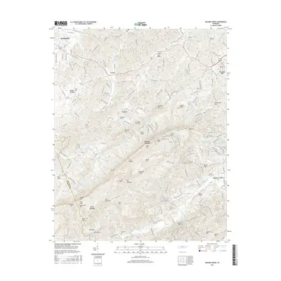
2016 Map of Walden Creek
USGS Topo · Published 2016About this map
Chilhowee Mtn dominates the central landscape of this Sevier County survey, forming a prominent ridge that divides the drainage basins of Ellejoy Cr and Walden Creek. The map documents a rugged rural territory characterized by small settlements like Cusick, Dupont, and Hornet, often situated at the mouths of hollows or along winding mountain roads. Local history is deeply embedded in the terrain through numerous family and community burial grounds, including Laurel Grove Cem, Waldens Creek Cem, and Shiloh Cem. The transition from the lower elevations near Seymour in the northwest to the higher peaks of Bluff Mtn and Hatcher Mtn in the southeast illustrates the complex topography of the foothills. This 2016 record preserves the modern placement of traditional landmarks like Doyle Springs and Patty Hollow, alongside the intricate network of creeks such as Boyds Cr and Happy Cr that define the area's hydrology.
Find a feature on this map
196 named features on this map. Tap any name to fly to it.
Don’t see what you’re looking for? This feature index may not catch every label — zoom into the map to look around manually.
Map Details
Editions of this 2016 Walden Creek Map
This is the sole edition of this map. No revisions or reprints were ever made.
Other maps of this area

1886 · Knoxville
USGS Topo · 1:125,000

1892 · Knoxville
USGS Topo · 1:125,000

1894 · Knoxville
USGS Topo · 1:125,000

1895 · Knoxville
USGS Topo · 1:125,000

1901 · Knoxville
USGS Topo · 1:125,000

1935 · Knoxville
USGS Topo · 1:48,000

1935 · Walden Creek
USGS Topo · 1:24,000

1935 · Wildwood
USGS Topo · 1:24,000

1935 · Sevierville
USGS Topo · 1:48,000
1935 · Boyds Creek
USGS Topo · 1:24,000