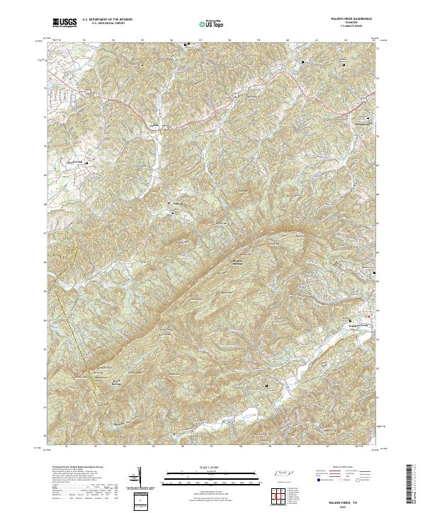
2022 Map of Walden Creek
USGS Topo · Published 2022About this map
Chilhowee Mtn dominates the southwestern portion of this Tennessee landscape, marking a sharp topographic boundary between the higher ridges and the valley settlements. The terrain is defined by a series of parallel peaks and hollows, including Big Pine Mtn, House Mtn, and Sugar Loaf Mtn. These ridges are intersected by numerous gaps such as Horse Gap, Berry Gap, and Millstone Gap, which have historically dictated the movement of people and livestock through the foothills.
Find a feature on this map
214 named features on this map. Tap any name to fly to it.
Don’t see what you’re looking for? This feature index may not catch every label — zoom into the map to look around manually.
Map Details
Editions of this 2022 Walden Creek Map
This is the sole edition of this map. No revisions or reprints were ever made.
Other maps of this area

1886 · Knoxville
USGS Topo · 1:125,000

1892 · Knoxville
USGS Topo · 1:125,000

1894 · Knoxville
USGS Topo · 1:125,000

1895 · Knoxville
USGS Topo · 1:125,000

1901 · Knoxville
USGS Topo · 1:125,000

1935 · Knoxville
USGS Topo · 1:48,000

1935 · Walden Creek
USGS Topo · 1:24,000

1935 · Wildwood
USGS Topo · 1:24,000

1935 · Sevierville
USGS Topo · 1:48,000
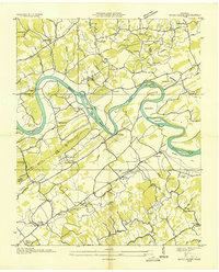
1935 · Boyds Creek
USGS Topo · 1:24,000