
1935 Map of Walden Creek
USGS Topo · Published 1935About this map
Chilhowee Mountain dominates the southern landscape of this 1935 survey, bisecting the region as it transitions into the foothills of the Smokies. The settlement patterns of the era are clearly defined by a network of rural schools and churches, including the Harrison-Chilhowee Institute near the northern border and the Laurel Grove Sch tucked along the headwaters of Walden Creek. Local industry and social life appear centered around small communities like Cusick and the resort-adjacent DuPont Springs.
Find a feature on this map
77 named features on this map. Tap any name to fly to it.
Don’t see what you’re looking for? This feature index may not catch every label — zoom into the map to look around manually.
Map Details
Editions of this 1935 Walden Creek Map
This is the sole edition of this map. No revisions or reprints were ever made.
Other maps of this area

1886 · Knoxville
USGS Topo · 1:125,000

1892 · Knoxville
USGS Topo · 1:125,000

1894 · Knoxville
USGS Topo · 1:125,000

1895 · Knoxville
USGS Topo · 1:125,000

1901 · Knoxville
USGS Topo · 1:125,000

1935 · Knoxville
USGS Topo · 1:48,000

1935 · Wildwood
USGS Topo · 1:24,000

1935 · Sevierville
USGS Topo · 1:48,000
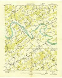
1935 · Boyds Creek
USGS Topo · 1:24,000
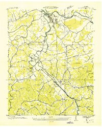
1935 · Pigeon Forge
USGS Topo · 1:24,000