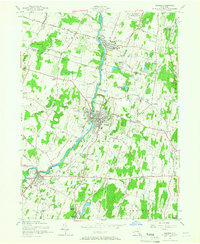
1957 Map of Walden
USGS Topo · Published 1967About this map
The Wallkill River defines the central axis of this mid-century Orange County landscape, connecting the industrial and residential hubs of Walden and Montgomery. The settlement pattern reflects a transition from traditional village life to post-war expansion, visible in the sprawling Maybrook Yards and the developed Lake Osiris Colony to the north. Industry and agriculture coexist along the riverbanks, where the historic Borden Estate and the massive Wallkill State Prison occupy significant acreage.
Find a feature on this map
65 named features on this map. Tap any name to fly to it.
Don’t see what you’re looking for? This feature index may not catch every label — zoom into the map to look around manually.
Map Details
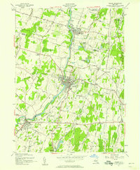
Editions of this 1957 Walden Map
2 editions found
Other maps of this area

1902 · Schunemunk
USGS Topo · 1:62,500

1903 · Newburg
USGS Topo · 1:62,500

1904 · Ellenville
USGS Topo · 1:62,500

1906 · Ellenville
USGS Topo · 1:62,500

1906 · Goshen
USGS Topo · 1:62,500

1908 · Goshen
USGS Topo · 1:62,500

1930 · Schunemunk
USGS Topo · 1:48,000

1935 · Schunemunk
USGS Topo · 1:62,500

1938 · Goshen
USGS Topo · 1:62,500

1942 · Goshen
USGS Topo · 1:24,000