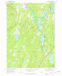
1967 Map of Wales
USGS Topo · Published 1977About this map
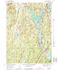
Brimfield, Massachusetts, and the surrounding towns along the Connecticut border are defined by a complex network of glacial ponds and managed forests in the late 1960s. The landscape is dominated by the Brimfield State Forest and Nipmuck State Forest, reflecting a mid-century emphasis on recreational land use and conservation. The mapping shows significant water management features, including the Hamilton Reservoir and East Brimfield Lake, alongside established youth retreats like the Springfield Boys Camp and Springfield Girls Camp. Local commerce and transit are centered on Rte 20 and the various local roads connecting smaller settlements like Wales, Holland, and Mashapaug. Geologists and local historians will note the variety of family-named terrain, from Burley Hill to Janes Hill, which influenced the early settlement patterns of this borderland region.
Find a feature on this map
55 named features on this map. Tap any name to fly to it.
Don’t see what you’re looking for? This feature index may not catch every label — zoom into the map to look around manually.
Map Details
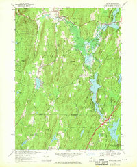
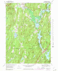
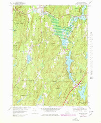
Editions of this 1967 Wales Map
5 editions found
Other maps of this area

1887 · Brookfield
USGS Topo · 1:62,500

1887 · Palmer
USGS Topo · 1:62,500

1889 · Palmer
USGS Topo · 1:62,500

1890 · Brookfield
USGS Topo · 1:62,500

1892 · Woodstock
USGS Topo · 1:62,500

1892 · Tolland
USGS Topo · 1:62,500

1893 · Palmer
USGS Topo · 1:62,500

1893 · Brookfield
USGS Topo · 1:62,500

1908 · Ware
USGS Topo · 1:125,000

1915 · Brookfield
USGS Topo · 1:62,500