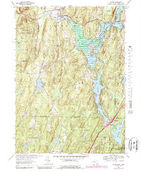
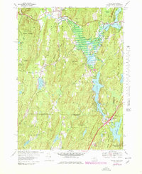
1967 Map of Wales
USGS Topo · Published 1988About this map
The hills of South Central Massachusetts and Northern Connecticut meet here in a landscape defined by significant water management and recreation projects. The East Brimfield Reservoir and Hamilton Reservoir dominate the lowlands, reflecting post-war flood control and water storage efforts along the Quinebaug River. This topography reveals the transition from the settled town centers of Brimfield and Wales to the dense woods of Brimfield State Forest and Nipmuck State Forest. High points such as Rattlesnake Mtn and Mount Pisgah overlook a complex network of smaller ponds and brooks, including Mashapaug Pond and Leadmine Brook. The presence of the Nipmuck Trail and several youth camps, like the Springfield Boys Camp, highlights the area's mid-century character as a destination for outdoor recreation and conservation.
Find a feature on this map
50 named features on this map. Tap any name to fly to it.
Don’t see what you’re looking for? This feature index may not catch every label — zoom into the map to look around manually.
Map Details
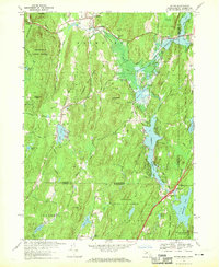
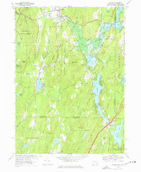
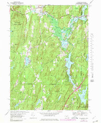
Editions of this 1967 Wales Map
5 editions found
Other maps of this area

1887 · Brookfield
USGS Topo · 1:62,500

1887 · Palmer
USGS Topo · 1:62,500

1889 · Palmer
USGS Topo · 1:62,500

1890 · Brookfield
USGS Topo · 1:62,500

1892 · Woodstock
USGS Topo · 1:62,500

1892 · Tolland
USGS Topo · 1:62,500

1893 · Palmer
USGS Topo · 1:62,500

1893 · Brookfield
USGS Topo · 1:62,500

1908 · Ware
USGS Topo · 1:125,000

1915 · Brookfield
USGS Topo · 1:62,500