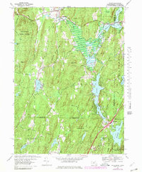
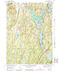
1967 Map of Wales
USGS Topo · Published 1979About this map
Wales and Holland anchor this cross-border survey, which captures the lake-studded landscape of South-Central Massachusetts and Northern Connecticut in the late 1960s. The topography is defined by the Quinebaug River and a series of significant water bodies including the East Brimfield Reservoir and Hamilton Reservoir. The area is characterized by extensive public lands, notably the Brimfield State Forest and Nipmuck State Forest, which surround peaks like Rattlesnake Mtn and Mount Pisgah. A distinct seasonal character is evident through the presence of the Springfield Boys Camp and Springfield Girls Camp near Pork Barrel Pond. Transport infrastructure transitions from the northern reach of the Mass Turnpike to the southern corridor of Interstate 86, illustrating the mid-century development of regional travel routes through the wooded hills of Hampden and Tolland Counties.
Find a feature on this map
60 named features on this map. Tap any name to fly to it.
Don’t see what you’re looking for? This feature index may not catch every label — zoom into the map to look around manually.
Map Details
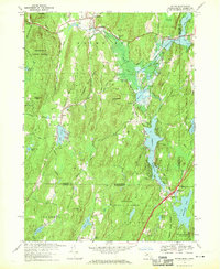
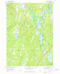
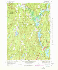
Editions of this 1967 Wales Map
5 editions found
Other maps of this area

1887 · Brookfield
USGS Topo · 1:62,500

1887 · Palmer
USGS Topo · 1:62,500

1889 · Palmer
USGS Topo · 1:62,500

1890 · Brookfield
USGS Topo · 1:62,500

1892 · Woodstock
USGS Topo · 1:62,500

1892 · Tolland
USGS Topo · 1:62,500

1893 · Palmer
USGS Topo · 1:62,500

1893 · Brookfield
USGS Topo · 1:62,500

1908 · Ware
USGS Topo · 1:125,000

1915 · Brookfield
USGS Topo · 1:62,500