
1978 Map of Wales
USGS Topo · Published 1978About this map
The agrarian landscape of Montgomery County unfolds in this late 1970s survey, centered on the settlement of Wales. The area is defined by the drainage systems of Walnut Creek, Little Indian Creek, and Crabapple Creek, which carve through the townships of Lincoln and Garfield. In the southern portion of the map, transportation infrastructure reflects both active and retired networks, with the Burlington Northern line running near an Old Railroad Grade that speaks to earlier rail alignments in the region.
Find a feature on this map
17 named features on this map. Tap any name to fly to it.
Don’t see what you’re looking for? This feature index may not catch every label — zoom into the map to look around manually.
Map Details
Editions of this 1978 Wales Map
This is the sole edition of this map. No revisions or reprints were ever made.
Other maps of this area

1954 · Omaha
USGS Topo · 1:250,000

1955 · Nebraska City
USGS Topo · 1:250,000

1957 · Nebraska City
USGS Topo · 1:250,000

1957 · Omaha
USGS Topo · 1:250,000

1958 · Omaha
USGS Topo · 1:250,000

1958 · Nebraska City
USGS Topo · 1:250,000

1978 · Carson
USGS Topo · 1:24,000

1978 · Griswold
USGS Topo · 1:24,000
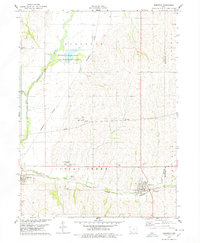
1978 · Emerson
USGS Topo · 1:24,000
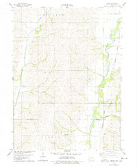
1978 · Coburg
USGS Topo · 1:24,000