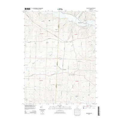
2013 Map of Walhonding
USGS Topo · Published 2013About this map
Walhonding sits at the confluence of the Mohican River and the Kokosing River, where they merge to form the Walhonding River. This landscape in eastern Ohio is defined by its deep river valleys and the prominent Rabbit Ridge to the west. The area maintains a strong agricultural character, evidenced by operations like Widows Point Farms, Farmers Orchards, and the Spring Creek Dairy. Small settlements and crossroads such as New Guilford and Esto are scattered throughout the township, often marked by local burial grounds like New Guilford Cem and Giffen Cem.
Find a feature on this map
109 named features on this map. Tap any name to fly to it.
Don’t see what you’re looking for? This feature index may not catch every label — zoom into the map to look around manually.
Map Details
Editions of this 2013 Walhonding Map
This is the sole edition of this map. No revisions or reprints were ever made.
Other maps of this area

1909 · Newark
USGS Topo · 1:62,500

1910 · Frazeysburg
USGS Topo · 1:62,500

1912 · Gambier
USGS Topo · 1:62,500

1913 · Brinkhaven
USGS Topo · 1:62,500

1914 · Gambier
USGS Topo · 1:62,500

1915 · Brinkhaven
USGS Topo · 1:62,500

1943 · Gambier
USGS Topo · 1:62,500

1950 · Marion
USGS Topo · 1:250,000
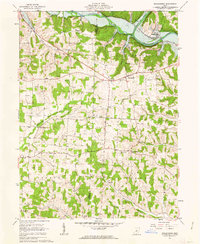
1961 · Walhonding
USGS Topo · 1:24,000
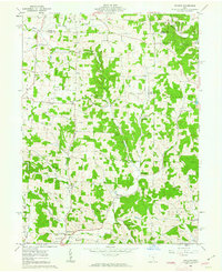
1961 · Hickman
USGS Topo · 1:24,000