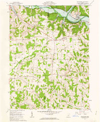
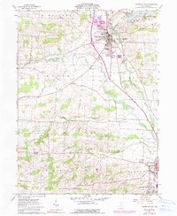
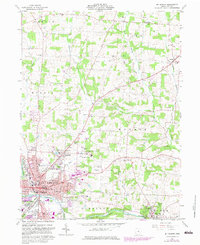
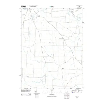
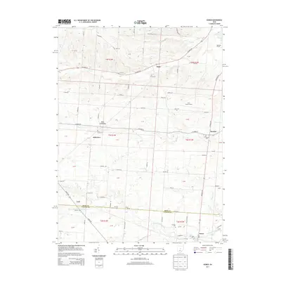
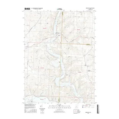
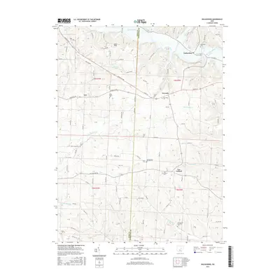
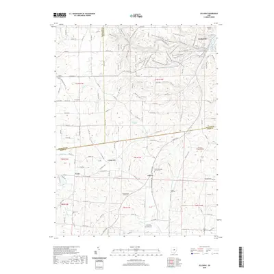
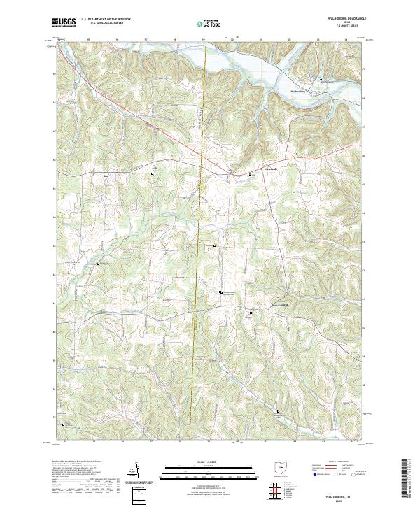
1961 Map of Walhonding
USGS Topo · Published 1963About this map
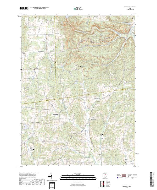
The confluence of the Kokosing River and the Mohican River forms the Walhonding River in the northeastern corner of this 1961 survey, a landscape defined by the drainage patterns of the United States Military District. Small agricultural settlements like Newcastle and Walhonding are connected by winding roads through the dissected plateaus of Butler and Jackson townships. The map documents an area deeply involved in resource extraction, evidenced by numerous oil and gas wells scattered across the hills and several industrial sites like the Quarry near Rabbit Ridge.
Find a feature on this map
29 named features on this map. Tap any name to fly to it.
Don’t see what you’re looking for? This feature index may not catch every label — zoom into the map to look around manually.
Map Details
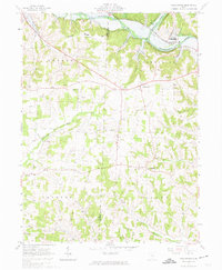
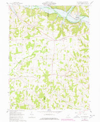
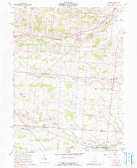
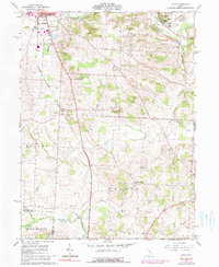
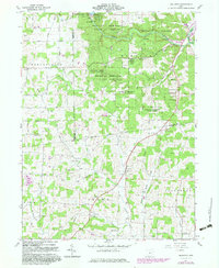
Editions of this 1961 Walhonding Map
4 editions found
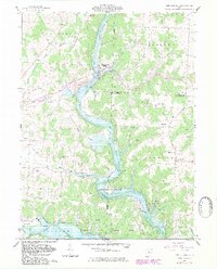
Historical Maps of Newcastle Through Time
32 maps found
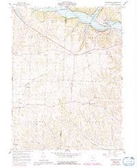
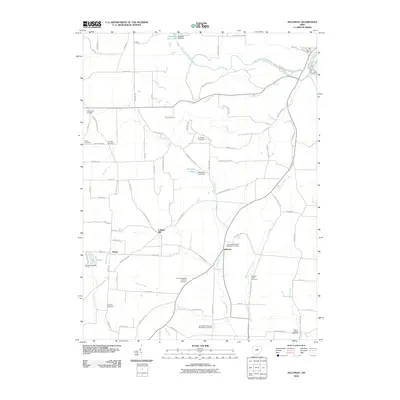
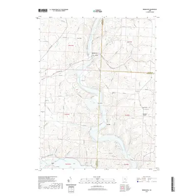
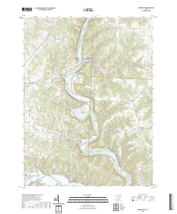
1961 Brinkhaven
Knox County, OH
1961 Fredricktown
Knox County, OH
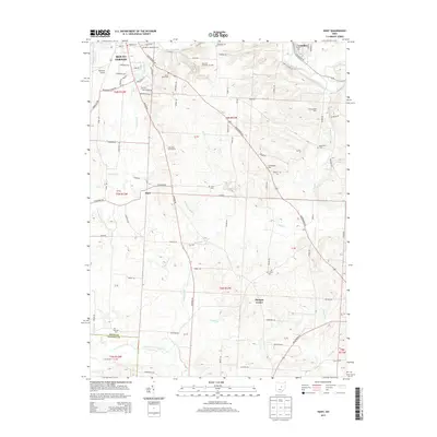
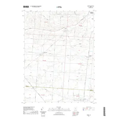
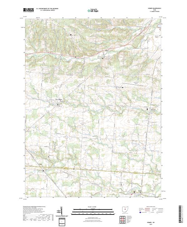
1961 Homer
Knox County, OH
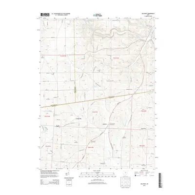
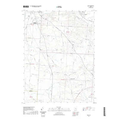
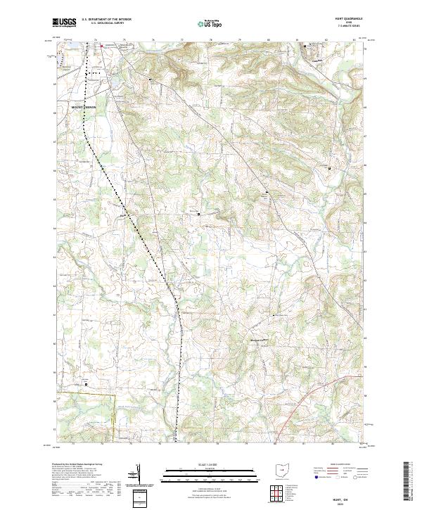
1961 Hunt
Knox County, OH
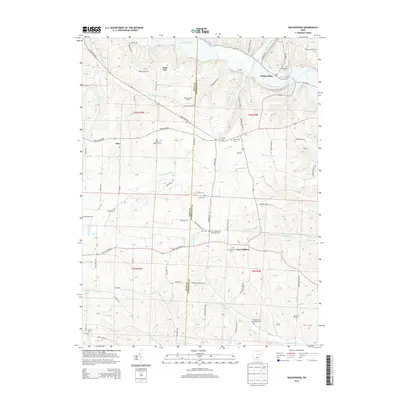
1961 Jelloway
Knox County, OH
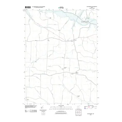
1961 Mt Vernon
Knox County, OH
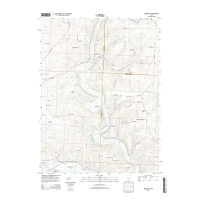
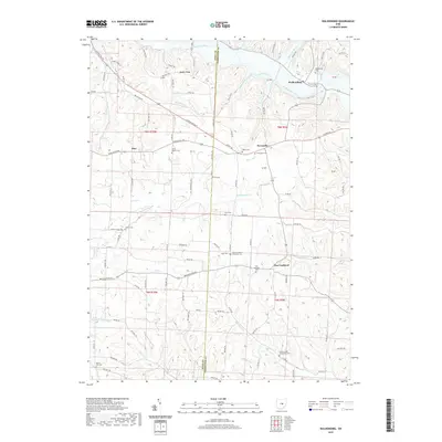
1961 Walhonding
Knox County, OH
2010 Brinkhaven
Knox County, OH
2010 Homer
Knox County, OH
2010 Hunt
Knox County, OH
2010 Jelloway
Knox County, OH
2010 Walhonding
Knox County, OH
2013 Brinkhaven
Knox County, OH
2013 Homer
Knox County, OH
2013 Hunt
Knox County, OH
2013 Jelloway
Knox County, OH
2013 Walhonding
Knox County, OH
2016 Brinkhaven
Knox County, OH
2016 Homer
Knox County, OH
2016 Hunt
Knox County, OH
2016 Jelloway
Knox County, OH
2016 Walhonding
Knox County, OH
2019 Brinkhaven
Knox County, OH
2019 Homer
Knox County, OH
2019 Hunt
Knox County, OH
2019 Jelloway
Knox County, OH
2019 Walhonding
Knox County, OH
2023 Brinkhaven
Knox County, OH
2023 Homer
Knox County, OH
2023 Hunt
Knox County, OH
2023 Jelloway
Knox County, OH
2023 Walhonding
Knox County, OH
Featured Locations
- Newcastle Township, OH
- Butler Township, OH
- Jackson Township, OH
- New Guilford, Perry Township
- Newcastle, Newcastle Township