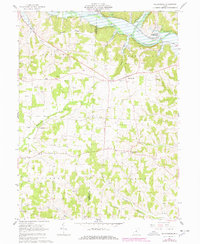
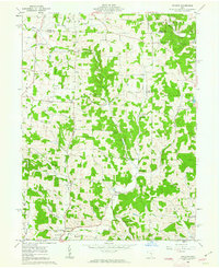
1961 Map of Walhonding
USGS Topo · Published 1978About this map
The confluence of the Kokosing River and the Mohican River forms the Walhonding River in the northeastern corner of this 1961 survey, an area defined by the meeting of Knox Co and Coshocton Co. The landscape is shaped by the energy economy of the mid-20th century, with numerous Oil Wells and Gas Wells scattered across the uplands of Butler and Jackson townships.
Find a feature on this map
40 named features on this map. Tap any name to fly to it.
Don’t see what you’re looking for? This feature index may not catch every label — zoom into the map to look around manually.
Map Details
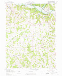
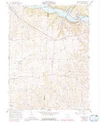
Editions of this 1961 Walhonding Map
4 editions found
Other maps of this area

1909 · Newark
USGS Topo · 1:62,500

1910 · Frazeysburg
USGS Topo · 1:62,500

1912 · Gambier
USGS Topo · 1:62,500

1913 · Brinkhaven
USGS Topo · 1:62,500

1914 · Gambier
USGS Topo · 1:62,500

1915 · Brinkhaven
USGS Topo · 1:62,500

1943 · Gambier
USGS Topo · 1:62,500

1950 · Marion
USGS Topo · 1:250,000
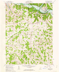
1961 · Walhonding
USGS Topo · 1:24,000
1961 · Hickman
USGS Topo · 1:24,000