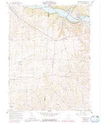
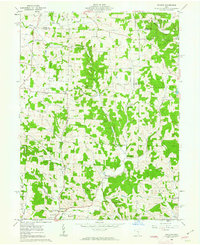
1961 Map of Walhonding
USGS Topo · Published 1992About this map
Kokosing River and Mohican River converge in the northern portion of this quadrangle, forming the headwaters of the Walhonding River. This drainage system is the primary geographical feature of the region, influencing the placement of early settlements like Walhonding. The landscape is defined by the sharp transition from the river bottomlands to the elevated terrain of Rabbit Ridge and the Brush Run valley.
Find a feature on this map
29 named features on this map. Tap any name to fly to it.
Don’t see what you’re looking for? This feature index may not catch every label — zoom into the map to look around manually.
Map Details
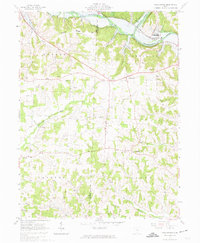
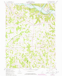
Editions of this 1961 Walhonding Map
4 editions found
Other maps of this area

1909 · Newark
USGS Topo · 1:62,500

1910 · Frazeysburg
USGS Topo · 1:62,500

1912 · Gambier
USGS Topo · 1:62,500

1913 · Brinkhaven
USGS Topo · 1:62,500

1914 · Gambier
USGS Topo · 1:62,500

1915 · Brinkhaven
USGS Topo · 1:62,500

1943 · Gambier
USGS Topo · 1:62,500

1950 · Marion
USGS Topo · 1:250,000
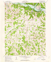
1961 · Walhonding
USGS Topo · 1:24,000
1961 · Hickman
USGS Topo · 1:24,000