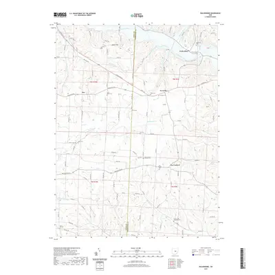
2019 Map of Walhonding
USGS Topo · Published 2019About this map
Walhonding sits at the confluence of the Kokosing River and Walhonding River, anchoring a landscape defined by deeply dissected valleys and high ridges like Rabbit Ridge. This area of western Coshocton County maintains a strong connection to its 19th-century settlement patterns, evidenced by the numerous community cemeteries serving small crossroads like Newcastle, Esto, and New Guilford. Genealogists will find a high concentration of burial sites, from the Butler Baptist Cem and Giffen Cem in the north to the Winding Fork Evangelical Cem and Mount Zion Cem in the south. The drainage network is complex, with Wakatomika Cr and Winding Fork cutting through the terrain, while the path of Us Rte 36 serves as the primary modern thoroughfare following the historical upland contours between the river basins.
Find a feature on this map
58 named features on this map. Tap any name to fly to it.
Don’t see what you’re looking for? This feature index may not catch every label — zoom into the map to look around manually.
Map Details
Editions of this 2019 Walhonding Map
This is the sole edition of this map. No revisions or reprints were ever made.
Other maps of this area

1909 · Newark
USGS Topo · 1:62,500

1910 · Frazeysburg
USGS Topo · 1:62,500

1912 · Gambier
USGS Topo · 1:62,500

1913 · Brinkhaven
USGS Topo · 1:62,500

1914 · Gambier
USGS Topo · 1:62,500

1915 · Brinkhaven
USGS Topo · 1:62,500

1943 · Gambier
USGS Topo · 1:62,500

1950 · Marion
USGS Topo · 1:250,000
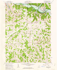
1961 · Walhonding
USGS Topo · 1:24,000
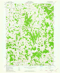
1961 · Hickman
USGS Topo · 1:24,000