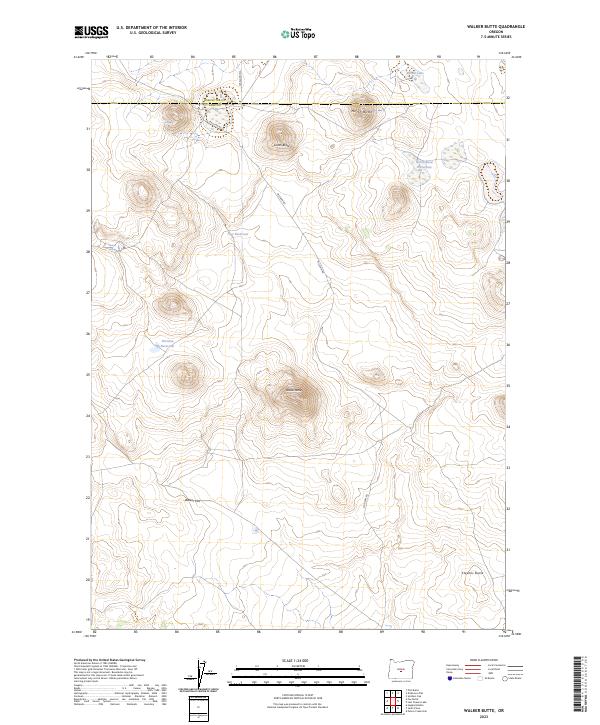
2023 Map of Walker Butte
USGS Topo · Published 2023About this map
The high desert landscape where Deschutes Co and Lake Co meet is defined by a series of volcanic rises and critical water points. Elevated features such as North Butte, South Butte, and the central Walker Butte dominate the topography, while the lower elevations contain vital hydraulic resources in an otherwise arid region. The presence of North Butte Waterhole, Basalt Lake, and East Reservoir suggests the importance of water management for livestock or local land use.
Find a feature on this map
19 named features on this map. Tap any name to fly to it.
Don’t see what you’re looking for? This feature index may not catch every label — zoom into the map to look around manually.
Map Details
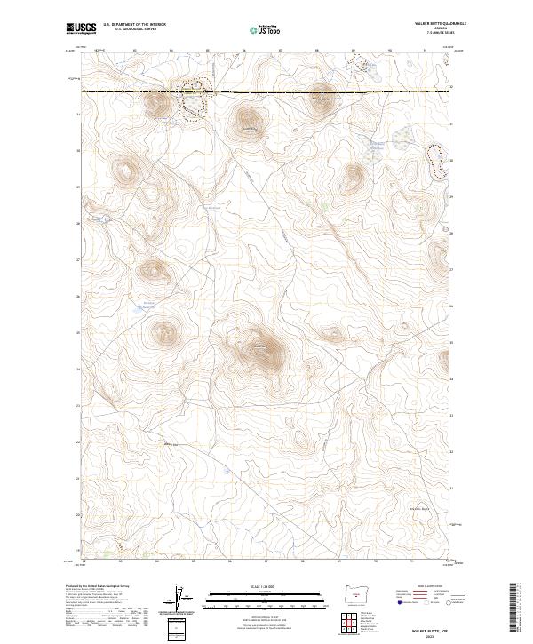
Editions of this 2023 Walker Butte Map
2 editions found
Other maps of this area

1955 · Crescent
USGS Topo · 1:250,000

1957 · Crescent
USGS Topo · 1:250,000

1958 · Crescent
USGS Topo · 1:250,000

1970 · Crescent
USGS Topo · 1:250,000

1981 · Fox Butte
USGS Topo · 1:24,000

1981 · Hogback Butte
USGS Topo · 1:24,000
1981 · Plot Butte
USGS Topo · 1:24,000

1982 · Peters Creek Sink
USGS Topo · 1:24,000

1982 · Jacks Place
USGS Topo · 1:24,000
1983 · Soldiers Cap
USGS Topo · 1:24,000