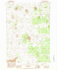
1983 Map of Walker Butte
USGS Topo · Published 1983About this map
Walker Butte and its surrounding volcanic landscape dominate this high-desert portion of the Oregon backcountry in the early 1980s. The map illustrates a reliance on scattered water sources across Squaw Flat, featuring isolated landmarks like Jaynes Well, Rogers Well, and the Devils Hole. Human presence is sparse, represented by the lonely Walker Cabin situated near the headwaters of Walker Creek.
Find a feature on this map
20 named features on this map. Tap any name to fly to it.
Don’t see what you’re looking for? This feature index may not catch every label — zoom into the map to look around manually.
Map Details
Editions of this 1983 Walker Butte Map
2 editions found
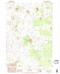
Other maps of this area

1955 · Crescent
USGS Topo · 1:250,000

1957 · Crescent
USGS Topo · 1:250,000

1958 · Crescent
USGS Topo · 1:250,000

1970 · Crescent
USGS Topo · 1:250,000

1981 · Fox Butte
USGS Topo · 1:24,000

1981 · Hogback Butte
USGS Topo · 1:24,000
1981 · Plot Butte
USGS Topo · 1:24,000

1982 · Peters Creek Sink
USGS Topo · 1:24,000

1982 · Jacks Place
USGS Topo · 1:24,000
1983 · Soldiers Cap
USGS Topo · 1:24,000