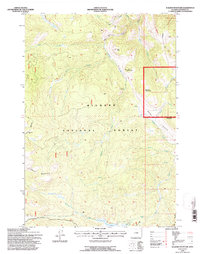
1993 Map of Walker Mountain
USGS Topo · Published 1997About this map
Bighorn National Forest dominates this landscape, showing the rugged topography of Sheridan County in the early 1990s. The map highlights a network of drainage systems including Wolf Creek, Quartz Creek, and Prairie Creek, which carve through the high elevations of Walker Mountain and Lookout Mountain. Resource and range management history is evident at the Quartz Creek Cow Camp and the site of the Taylor Mine. The southern portion of the quadrangle centers on water management and recreation at Sawmill Reservoir and Sawmill Lakes, while established routes like the Roosevelt Trail and Game Trail provide access through the dense contour lines. This survey captures a specific era of forest management where old mining sites and seasonal cow camps coexisted with modern trail networks.
Find a feature on this map
27 named features on this map. Tap any name to fly to it.
Don’t see what you’re looking for? This feature index may not catch every label — zoom into the map to look around manually.
Map Details
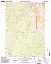
Editions of this 1993 Walker Mountain Map
2 editions found
Other maps of this area

1895 · Dayton
USGS Topo · 1:125,000

1901 · Dayton
USGS Topo · 1:125,000

1955 · Sheridan
USGS Topo · 1:250,000

1958 · Sheridan
USGS Topo · 1:250,000

1962 · Sheridan
USGS Topo · 1:250,000

1964 · Wolf
USGS Topo · 1:24,000

1964 · Dayton South
USGS Topo · 1:24,000
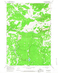
1964 · Skull Ridge
USGS Topo · 1:24,000

1964 · Walker Mountain
USGS Topo · 1:24,000

1964 · Beckton
USGS Topo · 1:24,000