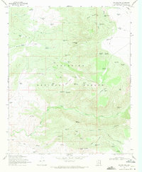
1969 Map of Walker Mtn.
USGS Topo · Published 1971About this map
Coconino National Forest occupies the core of this Yavapai County landscape, where the rugged terrain of the Mogollon Rim country is defined by steep canyons and high points like Walker Mountain. Water management is the primary human imprint on the land, evidenced by an extensive network of catchment basins such as Goswick Lake Tank, Wickiup Tank No 1, and Hance Tank. These vital resources supported ranching operations at M Diamond Ranch and Bull Pen Ranch during the late 1960s.
Find a feature on this map
70 named features on this map. Tap any name to fly to it.
Don’t see what you’re looking for? This feature index may not catch every label — zoom into the map to look around manually.
Map Details
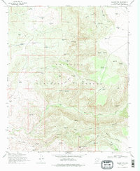
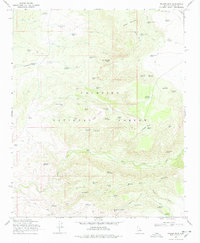
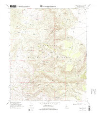
Editions of this 1969 Walker Mtn. Map
4 editions found
Other maps of this area

1887 · Verde
USGS Topo · 1:250,000

1892 · Verde
USGS Topo · 1:250,000

1923 · Camp Verde
USGS Topo · 1:125,000

1929 · Turret Peak
USGS Topo · 1:125,000

1932 · Camp Verde
USGS Topo · 1:125,000

1933 · Turret Peak
USGS Topo · 1:125,000

1936 · Camp Verde
USGS Topo · 1:125,000

1954 · Holbrook
USGS Topo · 1:250,000

1957 · Holbrook
USGS Topo · 1:250,000

1958 · Holbrook
USGS Topo · 1:250,000