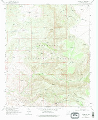
1969 Map of Walker Mtn.
USGS Topo · Published 1978About this map
Coconino National Forest defines the topography of this region, which was mapped in the late 1960s to document the complex water management systems of central Arizona. The landscape is characterized by a high density of man-made water catchments, including Pesthouse Tank, Goswick Lake Tank, and the numerous Bald Hill reservoirs, reflecting the necessities of ranching in this arid terrain. Small-scale operations are anchored by the M Diamond Ranch and Bull Pen Ranch, while evidence of earlier habitation persists at the Ruins located near the forest boundary. The physical geography transitions from the heights of Walker Mountain and Hollingshead Point down to the drainage of Walker Creek and Clear Canyon. Infrastructure is primarily limited to jeep trails and service points like Jawbone Windmill, indicating a period when the area remained dominated by resource management and livestock rather than significant residential development.
Find a feature on this map
64 named features on this map. Tap any name to fly to it.
Don’t see what you’re looking for? This feature index may not catch every label — zoom into the map to look around manually.
Map Details
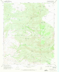
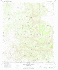
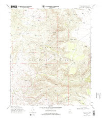
Editions of this 1969 Walker Mtn. Map
4 editions found
Other maps of this area

1887 · Verde
USGS Topo · 1:250,000

1892 · Verde
USGS Topo · 1:250,000

1923 · Camp Verde
USGS Topo · 1:125,000

1929 · Turret Peak
USGS Topo · 1:125,000

1932 · Camp Verde
USGS Topo · 1:125,000

1933 · Turret Peak
USGS Topo · 1:125,000

1936 · Camp Verde
USGS Topo · 1:125,000

1954 · Holbrook
USGS Topo · 1:250,000

1957 · Holbrook
USGS Topo · 1:250,000

1958 · Holbrook
USGS Topo · 1:250,000