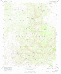
1969 Map of Walker Mtn.
USGS Topo · Published 1978About this map
M Diamond Ranch and Bull Pen Ranch anchor this high-elevation landscape within the Coconino National Forest. The 1969 field-checked survey reveals an intricate network of livestock water management, with dozens of named features such as Goswick Lake Tank, Wickiup Tank No 1, and Sawlog Tank No 2 scattered across the plateau. The terrain is defined by significant landmarks like Walker Mountain and Thirteenmile Rock Butte, while evidence of historical habitation is marked by several locations labeled simply as Ruins. Strategic water sources like Hance Spring and the Jawbone Windmill underscore the necessity of water infrastructure in this arid environment. The map details a transition from the elevated Cedar Bench down into deep canyons, traced by narrow roads and jeep trails that connect these remote ranching outposts.
Find a feature on this map
68 named features on this map. Tap any name to fly to it.
Don’t see what you’re looking for? This feature index may not catch every label — zoom into the map to look around manually.
Map Details
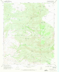
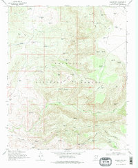
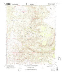
Editions of this 1969 Walker Mtn. Map
4 editions found
Other maps of this area

1887 · Verde
USGS Topo · 1:250,000

1892 · Verde
USGS Topo · 1:250,000

1923 · Camp Verde
USGS Topo · 1:125,000

1929 · Turret Peak
USGS Topo · 1:125,000

1932 · Camp Verde
USGS Topo · 1:125,000

1933 · Turret Peak
USGS Topo · 1:125,000

1936 · Camp Verde
USGS Topo · 1:125,000

1954 · Holbrook
USGS Topo · 1:250,000

1957 · Holbrook
USGS Topo · 1:250,000

1958 · Holbrook
USGS Topo · 1:250,000