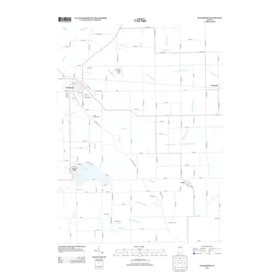
2013 Map of Walkerton
USGS Topo · Published 2013About this map
The town of Walkerton serves as the primary hub in this northern Indiana landscape, where residential streets like Maple St and John Glenn Dr intersect a region defined by agricultural heritage and water management. To the south, the community surrounding Koontz Lake marks a distinct recreational and residential pocket, while the smaller settlements of Tyner and Teegarden anchor the eastern reaches. The map reveals an extensive network of drainage infrastructure, including the Jesse McKesson Ditch, Elmer Kane Ditch, and Lemert Ditch, essential for maintaining the productivity of local holdings such as Braun Farms and Wendy Hill Farms. Aviation history is visible through specialized sites like Stuntz & Hochstetler Pines Airport and May's Strip Airport, while the winding course of Pine Creek and its many branches provides the natural framework for the surrounding townships.
Find a feature on this map
77 named features on this map. Tap any name to fly to it.
Don’t see what you’re looking for? This feature index may not catch every label — zoom into the map to look around manually.
Map Details
Editions of this 2013 Walkerton Map
This is the sole edition of this map. No revisions or reprints were ever made.
Other maps of this area

1953 · Chicago
USGS Topo · 1:250,000

1957 · Chicago
USGS Topo · 1:250,000

1957 · Knox East
USGS Topo · 1:24,000

1957 · Plymouth
USGS Topo · 1:24,000

1958 · Donaldson
USGS Topo · 1:24,000

1958 · La Paz
USGS Topo · 1:24,000

1958 · Hamlet
USGS Topo · 1:24,000

1958 · Walkerton
USGS Topo · 1:24,000

1958 · Stillwell
USGS Topo · 1:24,000

1958 · North Liberty
USGS Topo · 1:24,000