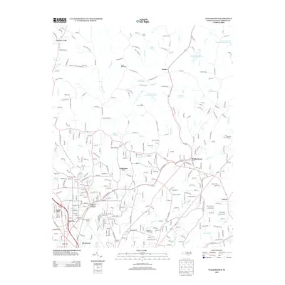
2013 Map of Walkertown
USGS Topo · Published 2013About this map
Walkertown serves as the focal point for this Forsyth County landscape, where the suburban growth of Winston-Salem meets the water-rich topography of the Piedmont. The map documents an area defined by its complex drainage systems, including Mill Cr and Lowery Mill Cr, which feed into various watershed lakes such as Waggoner Lake and Town Fork Creek Watershed Lake Five. The presence of Smith Reynolds Airport and Robertson Field Airport underscores the region's aviation infrastructure, while residential developments like Day Acres and Creekwood Acres represent the 21st-century residential pattern. North of the city, Baux Mountain stands as a prominent terrain feature near recreational sites like Camp Betty Hastings and Camp Civitan. Local history is anchored by Shiloh Church and established neighborhoods such as Ogburn Station and Montview.
Find a feature on this map
350 named features on this map. Tap any name to fly to it.
Don’t see what you’re looking for? This feature index may not catch every label — zoom into the map to look around manually.
Map Details
Editions of this 2013 Walkertown Map
This is the sole edition of this map. No revisions or reprints were ever made.
Other maps of this area

1950 · Winston-Salem West
USGS Topo · 1:24,000

1950 · Winston-Salem East
USGS Topo · 1:24,000

1951 · Winston-Salem West
USGS Topo · 1:24,000

1951 · Winston-Salem East
USGS Topo · 1:24,000

1951 · Rural Hall
USGS Topo · 1:24,000

1951 · Walkertown
USGS Topo · 1:24,000

1953 · Winston-Salem
USGS Topo · 1:250,000

1955 · Winston-Salem
USGS Topo · 1:250,000

1962 · Winston-Salem
USGS Topo · 1:250,000

1964 · King
USGS Topo · 1:24,000