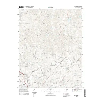
2016 Map of Walkertown
USGS Topo · Published 2016About this map
Winston-Salem and its northern suburban reaches define this 2016 study, showcasing the urban expansion toward Walkertown and Germanton. The landscape is a mix of dense residential neighborhoods like Forest Hills and Montview, and the technical footprint of Smith Reynolds Airport. A series of watershed lakes, including Town Fork Cr Watershed Lake Thirteen and Town Fork Creek Watershed Lake Six, provide a structured management of the regional hydrology. For the local historian, the map preserves the location of institutional landmarks such as the Memorial Industrial School and the Carolina Christian Coll. Numerous small family and community burial grounds, from Banner Cem in the northwest to Mecum Cem near Kernersville, are meticulously documented alongside smaller airfields like Robertson Field.
Find a feature on this map
243 named features on this map. Tap any name to fly to it.
Don’t see what you’re looking for? This feature index may not catch every label — zoom into the map to look around manually.
Map Details
Editions of this 2016 Walkertown Map
This is the sole edition of this map. No revisions or reprints were ever made.
Other maps of this area

1950 · Winston-Salem West
USGS Topo · 1:24,000

1950 · Winston-Salem East
USGS Topo · 1:24,000

1951 · Winston-Salem West
USGS Topo · 1:24,000

1951 · Winston-Salem East
USGS Topo · 1:24,000

1951 · Rural Hall
USGS Topo · 1:24,000

1951 · Walkertown
USGS Topo · 1:24,000

1953 · Winston-Salem
USGS Topo · 1:250,000

1955 · Winston-Salem
USGS Topo · 1:250,000

1962 · Winston-Salem
USGS Topo · 1:250,000

1964 · King
USGS Topo · 1:24,000