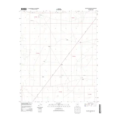
2013 Map of Walking Cane Ranch
USGS Topo · Published 2013About this map
Walking Cane Ranch serves as the focal point of this arid Lea County landscape, representing the remote ranching operations of southeastern New Mexico. In the early 21st century, the terrain is defined by a sparse but essential network of water sources, including the Antelope Windmill, North Windmill, and Lambert Windmill. These named landmarks, along with others like the West Windmill and New Windmill, underscore the critical importance of groundwater management in this high-plains environment.
Find a feature on this map
21 named features on this map. Tap any name to fly to it.
Don’t see what you’re looking for? This feature index may not catch every label — zoom into the map to look around manually.
Map Details
Editions of this 2013 Walking Cane Ranch Map
This is the sole edition of this map. No revisions or reprints were ever made.
Other maps of this area

1954 · Brownfield
USGS Topo · 1:250,000

1958 · Brownfield
USGS Topo · 1:250,000

1962 · Brownfield
USGS Topo · 1:250,000

1970 · Bronco NE
USGS Topo · 1:24,000

1970 · Walking Cane Ranch
USGS Topo · 1:24,000

1970 · Gladiola
USGS Topo · 1:24,000

1970 · Ranger Lake
USGS Topo · 1:24,000

1970 · Bronco
USGS Topo · 1:24,000

1970 · Tatum North
USGS Topo · 1:24,000

1970 · Bledsoe
USGS Topo · 1:24,000