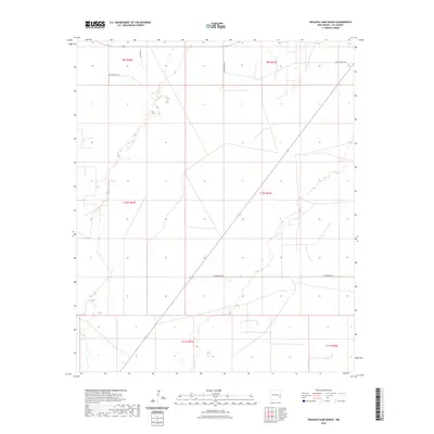
2023 Map of Walking Cane Ranch
USGS Topo · Published 2023About this map
The high plains of eastern Lea County are characterized by the vast ranching reaches of the White Ranch Rd and Sawyer Tank Ln corridors. This landscape, primarily defined by the Public Land Survey System grids of t9s r37e and t10s r37e, shows a sparse network of access roads serving the remote cattle operations of the LLano Estacado. The rectilinear boundaries and long-stretching routes like Underwood Rd reflect the large-scale land management typical of the New Mexico-Texas borderlands. Notable for its lack of concentrated settlements, the map provides a clear picture of modern land use in a region where transportation is dictated by the needs of the livestock industry and energy access, with Bayley Ln and other tracks connecting distant homesteads across the open terrain.
Find a feature on this map
10 named features on this map. Tap any name to fly to it.
Don’t see what you’re looking for? This feature index may not catch every label — zoom into the map to look around manually.
Map Details
Editions of this 2023 Walking Cane Ranch Map
This is the sole edition of this map. No revisions or reprints were ever made.
Other maps of this area

1954 · Brownfield
USGS Topo · 1:250,000

1958 · Brownfield
USGS Topo · 1:250,000

1962 · Brownfield
USGS Topo · 1:250,000

1970 · Bronco NE
USGS Topo · 1:24,000

1970 · Walking Cane Ranch
USGS Topo · 1:24,000

1970 · Gladiola
USGS Topo · 1:24,000

1970 · Ranger Lake
USGS Topo · 1:24,000

1970 · Bronco
USGS Topo · 1:24,000

1970 · Tatum North
USGS Topo · 1:24,000

1970 · Bledsoe
USGS Topo · 1:24,000