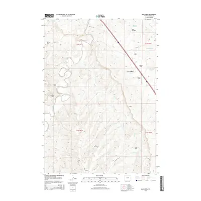
2015 Map of Wall Creek
USGS Topo · Published 2015About this map
Linstead Place and the surrounding ranchlands of Johnson County define this high-plains landscape. The drainage of the S Fork Powder River carves through the terrain, flanked by notable geological landmarks like Frewens Castle and the massive ridge known simply as The Wall. Transport across this ranching country follows established routes like Old Highway 87 and Dugout Rd, which intersect near the Linstead Flats. The southern portion of the survey rises toward the heights of Tisdale Mtn, where Tisdale Mountain Rd provides access to the higher elevations. Water management is central to the area's utility, evidenced by several scattered impoundments including Applegate Reservoir, Robertson Reservoir, and Andrus Reservoir, which support livestock and irrigation in a region characterized by deep draws and canyons like Oil Canyon and Trail Canyon.
Find a feature on this map
31 named features on this map. Tap any name to fly to it.
Don’t see what you’re looking for? This feature index may not catch every label — zoom into the map to look around manually.
Map Details
Editions of this 2015 Wall Creek Map
This is the sole edition of this map. No revisions or reprints were ever made.
Other maps of this area

1955 · Arminto
USGS Topo · 1:250,000

1958 · Arminto
USGS Topo · 1:250,000

1961 · Kaycee NE
USGS Topo · 1:24,000

1961 · Figure 8 Reservoir
USGS Topo · 1:24,000

1961 · TTT Ranch
USGS Topo · 1:24,000

1961 · Dugout Ranch
USGS Topo · 1:24,000

1961 · Wall Creek
USGS Topo · 1:24,000

1961 · Kaycee
USGS Topo · 1:24,000

1962 · Arminto
USGS Topo · 1:250,000

1968 · Salt Canyon
USGS Topo · 1:24,000