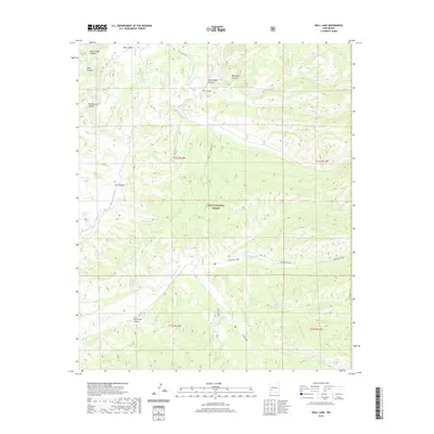
2020 Map of Wall Lake
USGS Topo · Published 2020About this map
Wall Lake and the surrounding high country of the Gila National Forest define this 2020 landscape in Catron County. The terrain is deeply incised by major drainage systems, notably Diamond Creek in the south and the East Fork Gila River to the west. Movement through this portion of New Mexico centers on State Route 61, which follows the contours of the land past Kemp Mesa and Whitewater Canyon.
Find a feature on this map
36 named features on this map. Tap any name to fly to it.
Don’t see what you’re looking for? This feature index may not catch every label — zoom into the map to look around manually.
Map Details
Editions of this 2020 Wall Lake Map
This is the sole edition of this map. No revisions or reprints were ever made.
Other maps of this area

1911 · Alum Mountain
USGS Topo · 1:125,000

1913 · Alum Mountain
USGS Topo · 1:125,000

1949 · Lookout Mountain
USGS Topo · 1:62,500

1954 · Tularosa
USGS Topo · 1:250,000

1954 · Clifton
USGS Topo · 1:250,000

1957 · Clifton
USGS Topo · 1:250,000

1958 · Clifton
USGS Topo · 1:250,000

1958 · Tularosa
USGS Topo · 1:250,000

1962 · Clifton
USGS Topo · 1:250,000

1963 · Bonner Canyon
USGS Topo · 1:24,000