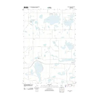
2010 Map of Wall Lake
USGS Topo · Published 2010About this map
Wall Lake and the village of Underwood anchor this survey of the glacial lake country in Otter Tail County. The landscape is defined by its high density of water bodies, ranging from the expansive Norway Lake and Pleasant Lake to smaller basins like Aas Lake and Lake Aunie. This pattern of scattered lakes influenced a road network that winds between shorelines, such as Aurdal River Rd and Fish Bay Rd, rather than following a strict grid.
Find a feature on this map
66 named features on this map. Tap any name to fly to it.
Don’t see what you’re looking for? This feature index may not catch every label — zoom into the map to look around manually.
Map Details
Editions of this 2010 Wall Lake Map
This is the sole edition of this map. No revisions or reprints were ever made.
Other maps of this area

1910 · Wendell
USGS Topo · 1:62,500

1913 · Ashby
USGS Topo · 1:62,500

1913 · Fergus Falls
USGS Topo · 1:62,500

1913 · Wendell
USGS Topo · 1:62,500

1915 · Underwood
USGS Topo · 1:62,500

1953 · Fargo
USGS Topo · 1:250,000

1953 · Brainerd
USGS Topo · 1:250,000

1956 · Fargo
USGS Topo · 1:250,000

1957 · Brainerd
USGS Topo · 1:250,000

1958 · Brainerd
USGS Topo · 1:250,000