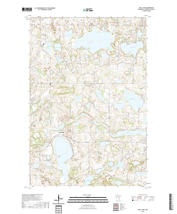
2022 Map of Wall Lake
USGS Topo · Published 2022About this map
Wall Lake serves as the central focal point for this section of Otter Tail County, surrounded by a dense network of glacial lakes and wetlands. The landscape reflects a deeply rooted community, with significant genealogical landmarks such as the Stavanger Lutheran Church Cem and Swedish Baptist Church Cem anchoring the northern sections of the map. The settlement of Wall Lake itself is situated along the northern shore of its namesake water body, connected to the wider region by roads like Aurdal River Rd and Fish Lake Beach Rd.
Find a feature on this map
97 named features on this map. Tap any name to fly to it.
Don’t see what you’re looking for? This feature index may not catch every label — zoom into the map to look around manually.
Map Details
Editions of this 2022 Wall Lake Map
This is the sole edition of this map. No revisions or reprints were ever made.
Other maps of this area

1910 · Wendell
USGS Topo · 1:62,500

1913 · Ashby
USGS Topo · 1:62,500

1913 · Fergus Falls
USGS Topo · 1:62,500

1913 · Wendell
USGS Topo · 1:62,500

1915 · Underwood
USGS Topo · 1:62,500

1953 · Fargo
USGS Topo · 1:250,000

1953 · Brainerd
USGS Topo · 1:250,000

1956 · Fargo
USGS Topo · 1:250,000

1957 · Brainerd
USGS Topo · 1:250,000

1958 · Brainerd
USGS Topo · 1:250,000
Featured Places
- Underwood, MN
- Aurdal Township, MN
- Dane Prairie Township, MN
- Sverdrup Township, MN
- Tordenskjold Township, MN