Loading...
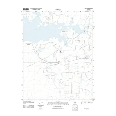
Loading map...1962 Map of Wallace
USGS Topo · Published 1971About this map
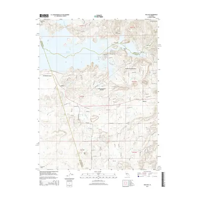
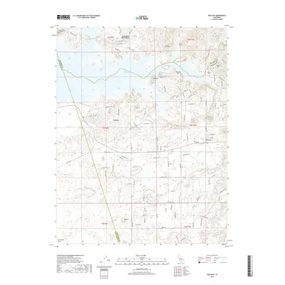
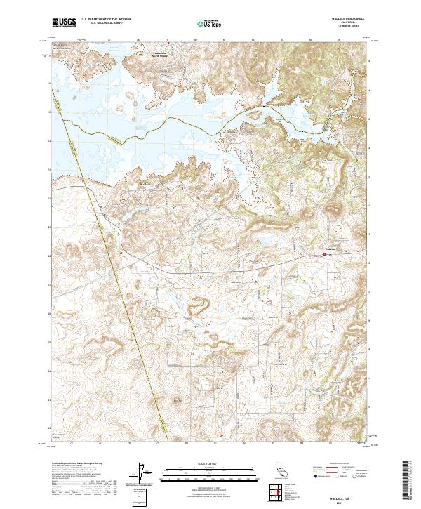
Camanche Reservoir dominates the northern landscape of this 1962 survey, which documents the region just as the rising waters were set to transform the Mokelumne River valley. The map preserves the locations of early settlements like Camanche and Lancha Plana, as well as the numerous sandbars—Oregon Bar, Poverty Bar, and Winter Bar—that reflect the area's gold-mining heritage. Extensive dredge tailings along the river banks provide a physical record of industrial scale extraction that shaped the terrain.
Find a feature on this map
40 named features on this map. Tap any name to fly to it.
Don’t see what you’re looking for? This feature index may not catch every label — zoom into the map to look around manually.
Map Details
Date Portrayed1962
Date Published1971
PublisherU.S. Geological Survey
Map TypeTopographic
Scale1:24,000
Physical Dimensions22 x 26.9 inches
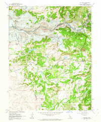
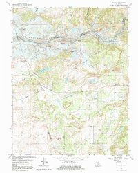
Editions of this 1962 Wallace Map
3 editions found
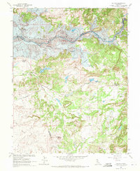
Historical Maps of Goodmans Corner Through Time
5 maps found
Featured Locations
Source Details
SourceU.S. Geological Survey
CopyrightPublic Domain