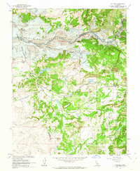
1962 Map of Wallace
USGS Topo · Published 1963About this map
The Mokelumne River corridor defines this portion of the California foothills in the early 1960s, a landscape in the midst of massive hydrological change. The planned Camanche Reservoir is indicated by blue hatching, marking the areas destined for submersion, which include historic river sites like Lancha Plana, Poverty Bar, and Winter Bar. The town of Camanche sits directly in the path of this transformation, while nearby Wallace remains on higher ground along the Southern Pacific railroad line.
Find a feature on this map
38 named features on this map. Tap any name to fly to it.
Don’t see what you’re looking for? This feature index may not catch every label — zoom into the map to look around manually.
Map Details
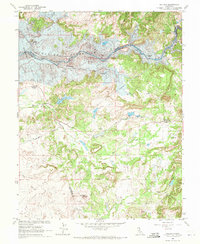
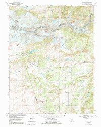
Editions of this 1962 Wallace Map
3 editions found
Other maps of this area

1889 · Jackson
USGS Topo · 1:125,000

1892 · Jackson
USGS Topo · 1:125,000

1894 · Lodi
USGS Topo · 1:125,000

1897 · Jackson
USGS Topo · 1:125,000

1902 · Jackson
USGS Topo · 1:125,000

1908 · Linden
USGS Topo · 1:31,680

1909 · Goose Creek
USGS Topo · 1:31,680

1909 · Clements
USGS Topo · 1:31,680
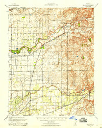
1939 · Bellota
USGS Topo · 1:62,500

1941 · Sutter Creek
USGS Topo · 1:62,500