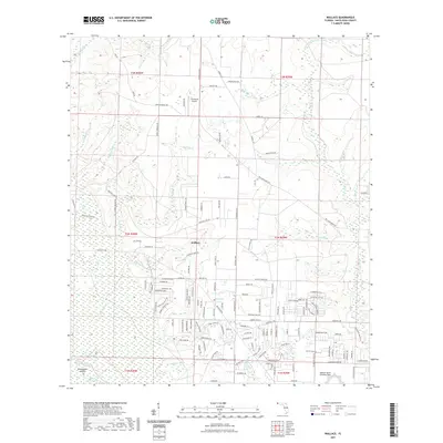
2021 Map of Wallace
USGS Topo · Published 2021About this map
Wallace sits as a central point of settlement in this Santa Rosa County landscape, where the coastal plain is deeply etched by a network of creeks and branches. The area exhibits a significant aviation presence, anchored by the Spencer Naval Outlying Field in the southeast and the J-22 Ranch Airport further north. These facilities reflect the strategic importance of this region for pilot training and private aviation near the Florida Panhandle.
Find a feature on this map
144 named features on this map. Tap any name to fly to it.
Don’t see what you’re looking for? This feature index may not catch every label — zoom into the map to look around manually.
Map Details
Editions of this 2021 Wallace Map
This is the sole edition of this map. No revisions or reprints were ever made.
Other maps of this area

1920 · Milton
USGS Topo · 1:62,500

1921 · Muscogee
USGS Topo · 1:62,500

1941 · Muscogee
USGS Topo · 1:62,500

1941 · Milton
USGS Topo · 1:62,500

1941 · Century
USGS Topo · 1:62,500

1943 · Muscogee
USGS Topo · 1:62,500

1943 · Century
USGS Topo · 1:62,500

1943 · Milton
USGS Topo · 1:62,500

1943 · Jay
USGS Topo · 1:62,500
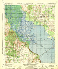
1944 · Floridatown
USGS Topo · 1:25,000