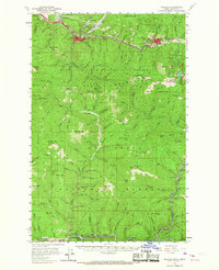
1957 Map of Wallace
USGS Topo · Published 1967About this map
Silver Mining and lead production dominate this mountain landscape along the South Fork Coeur d'Alene River during the late 1950s. The heavy industrial concentration is evident in the cluster of major operations like the Galena Mine and Morning Mine flanking the Wallace and Mullan corridors. Beyond the technical workings, the social fabric of the mining district appears in features like the Miners Union Cemetery and the series of worker settlements including Silverton and Gentry. The terrain is characterized by steep canyons and named summits like Stevens Pk and Mastodon Mtn, with a dense network of gulches—such as Grouse Gulch and Slaughterhouse Gulch—that provided access to the underlying mineral veins. The transport infrastructure reflects this output, showing the Union Pacific and Northern Pacific railroads serving the mills and mines along the canyon floor.
Find a feature on this map
147 named features on this map. Tap any name to fly to it.
Don’t see what you’re looking for? This feature index may not catch every label — zoom into the map to look around manually.
Map Details
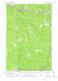
Editions of this 1957 Wallace Map
3 editions found

Other maps of this area

1901 · Coeur D'Alene District
USGS Topo · 1:62,500

1903 · Coeur D'Alene District
USGS Topo · 1:62,500

1906 · Coeur D'Alene District
USGS Topo · 1:62,500

1909 · Cataldo
USGS Topo · 1:125,000

1911 · Cataldo
USGS Topo · 1:125,000

1914 · Avery
USGS Topo · 1:125,000

1917 · Avery
USGS Topo · 1:125,000

1932 · Trout Creek
USGS Topo · 1:125,000

1935 · Trout Creek
USGS Topo · 1:125,000

1936 · Trout Creek
USGS Topo · 1:125,000