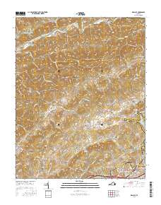
2016 Map of Wallace
USGS Topo · Published 2016About this map
The North Fork Holston River defines the northern reaches of this territory, winding through the gap between Clinch Mountain and Little Mountain. This portion of Washington County is characterized by a dense network of family-named hollows and ridges, such as Vickers Hollow and Big Jack Ridge, which have long dictated the placement of small communities and farmsteads. The settlement pattern is anchored by locations like Benhams and Haskell, with the land rising toward Walker Mtn in the east.
Find a feature on this map
165 named features on this map. Tap any name to fly to it.
Don’t see what you’re looking for? This feature index may not catch every label — zoom into the map to look around manually.
Map Details
Editions of this 2016 Wallace Map
This is the sole edition of this map. No revisions or reprints were ever made.
Other maps of this area

1897 · Bristol
USGS Topo · 1:125,000

1902 · Bristol
USGS Topo · 1:125,000

1918 · Carterton
USGS Topo · 1:62,500

1920 · Coeburn
USGS Topo · 1:48,000

1934 · Wallace
USGS Topo · 1:24,000

1934 · Holston Valley
USGS Topo · 1:24,000

1934 · Brumley
USGS Topo · 1:24,000

1934 · Hansonville
USGS Topo · 1:24,000

1934 · Wyndale
USGS Topo · 1:24,000

1934 · Bristol
USGS Topo · 1:24,000