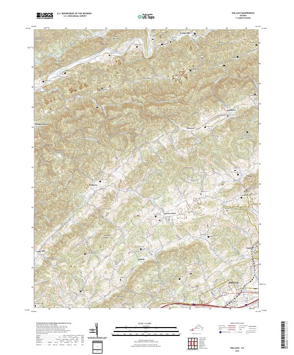
2022 Map of Wallace
USGS Topo · Published 2022About this map
Craigs Mill and the northern reaches of Bristol anchor this portrait of Washington County's ridge-and-valley landscape. The North Fork Holston River winds through the northwest corner of the sheet, framed by the steep rise of Clinch Mountain and River Ridge. This terrain, defined by the alternating peaks of Walker Mtn and deep hollows like Smiley Hollow and Crawford Hollow, has historically dictated the placement of small rural communities and family homesteads.
Find a feature on this map
175 named features on this map. Tap any name to fly to it.
Don’t see what you’re looking for? This feature index may not catch every label — zoom into the map to look around manually.
Map Details
Editions of this 2022 Wallace Map
This is the sole edition of this map. No revisions or reprints were ever made.
Other maps of this area

1897 · Bristol
USGS Topo · 1:125,000

1902 · Bristol
USGS Topo · 1:125,000

1918 · Carterton
USGS Topo · 1:62,500

1920 · Coeburn
USGS Topo · 1:48,000

1934 · Wallace
USGS Topo · 1:24,000

1934 · Holston Valley
USGS Topo · 1:24,000

1934 · Brumley
USGS Topo · 1:24,000

1934 · Hansonville
USGS Topo · 1:24,000

1934 · Wyndale
USGS Topo · 1:24,000

1934 · Bristol
USGS Topo · 1:24,000