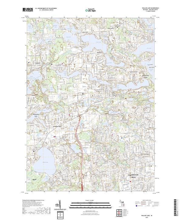
2023 Map of Walled Lake
USGS Topo · Published 2023About this map
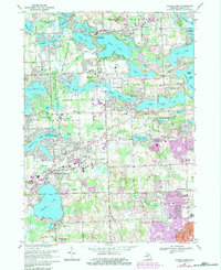
The suburbs of Oakland County are defined by a complex mosaic of glacial lakes and residential growth in this contemporary survey. Walled Lake and Wolverine Lake anchor the central portion of the map, while the historical corridor of Pontiac Trl winds through the landscape, connecting established communities like Commerce and Orchard Lake Village. The area's long-standing local history is preserved in several small burial sites, including the Commerce Village Burying Ground and the Hosner Family Cem, which stand in contrast to the expanding suburban footprints of Farmington Hills and Novi.
Find a feature on this map
59 named features on this map. Tap any name to fly to it.
Don’t see what you’re looking for? This feature index may not catch every label — zoom into the map to look around manually.
Map Details
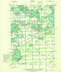
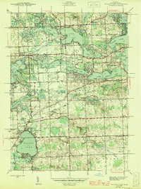
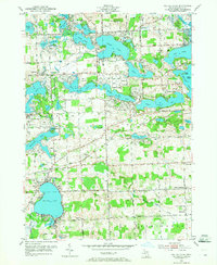
Editions of this 2023 Walled Lake Map
This is the sole edition of this map. No revisions or reprints were ever made.
Historical Maps of Oakley Park Through Time
5 maps found
Featured Locations
- Commerce Charter Township, MI
- Farmington Hills, MI
- Novi, MI
- Waterford Township, MI
- West Bloomfield Township, MI