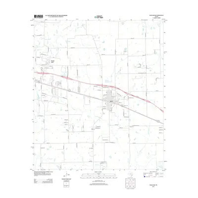
2013 Map of Waller
USGS Topo · Published 2013About this map
Waller and the university community of Prairie View anchor this section of Southeast Texas, where the prairie landscape is defined by the drainage networks of several prominent creeks. The geography is dominated by the flow of Mound Cr, Spring Cr, and Little Mound Cr, which meander through a grid of rural roads and evolving residential developments. This survey captures a specific era of growth, as traditional farm-to-market routes like FM 1488 RD and the commercial corridors of Pope Fwy interface with established local centers.
Find a feature on this map
70 named features on this map. Tap any name to fly to it.
Don’t see what you’re looking for? This feature index may not catch every label — zoom into the map to look around manually.
Map Details
Editions of this 2013 Waller Map
This is the sole edition of this map. No revisions or reprints were ever made.
Other maps of this area

1916 · Hockley
USGS Topo · 1:24,000

1916 · Swanson
USGS Topo · 1:24,000

1919 · Swanson
USGS Topo · 1:31,680

1920 · Hockley
USGS Topo · 1:31,680

1920 · Waller
USGS Topo · 1:31,680

1950 · Houston
USGS Topo · 1:250,000

1953 · Seguin
USGS Topo · 1:250,000

1954 · Beaumont
USGS Topo · 1:250,000

1954 · Austin
USGS Topo · 1:250,000

1955 · Brookshire
USGS Topo · 1:62,500