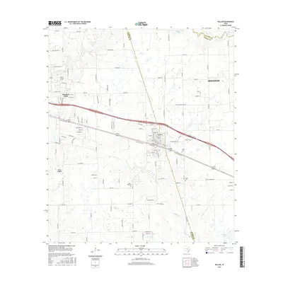
2016 Map of Waller
USGS Topo · Published 2016About this map
Prairie View and the campus of Prairie View A & M Univ anchor the western portion of this 2016 survey, while the city of Waller straddles the county line to the east. The landscape is defined by the winding paths of Mound Creek and Snake Creek, which drain the low-lying terrain typical of this part of the Texas Gulf Coast. The transition from rural acreage to expanding infrastructure is evident in the dense network of farm-to-market roads and new residential developments like Binford Cir and Binford Pl.
Find a feature on this map
108 named features on this map. Tap any name to fly to it.
Don’t see what you’re looking for? This feature index may not catch every label — zoom into the map to look around manually.
Map Details
Editions of this 2016 Waller Map
This is the sole edition of this map. No revisions or reprints were ever made.
Other maps of this area

1916 · Hockley
USGS Topo · 1:24,000

1916 · Swanson
USGS Topo · 1:24,000

1919 · Swanson
USGS Topo · 1:31,680

1920 · Hockley
USGS Topo · 1:31,680

1920 · Waller
USGS Topo · 1:31,680

1950 · Houston
USGS Topo · 1:250,000

1953 · Seguin
USGS Topo · 1:250,000

1954 · Beaumont
USGS Topo · 1:250,000

1954 · Austin
USGS Topo · 1:250,000

1955 · Brookshire
USGS Topo · 1:62,500