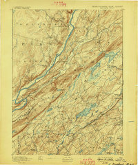
1893 Map of Wallpack
USGS Topo · Published 1898About this map
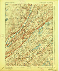
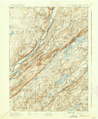
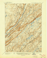
Kittatinny Mountain dominates this landscape, running southwest to northeast and separating the upper Delaware valley from the lake-dotted townships of Sussex County. This late 19th-century survey documents a network of river-dependent communities and mountain passes established long before modern infrastructure changed the region. Ferries such as Dingmans Ferry and Deckers Ferry provide vital crossings over the Delaware River, while a distinct concentration of post offices like Delaware P.O. and Peters Valley Bevans P.O. anchor the rural settlements.
Find a feature on this map
81 named features on this map. Tap any name to fly to it.
Don’t see what you’re looking for? This feature index may not catch every label — zoom into the map to look around manually.
Map Details
Editions of this 1893 Wallpack Map
8 editions found
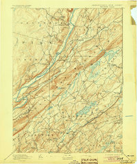
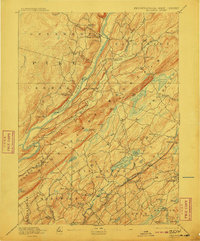
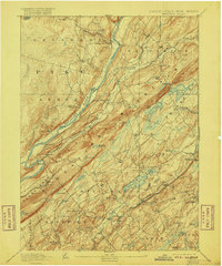
Other maps of this area

1888 · Franklin
USGS Topo · 1:62,500

1888 · Hackettstown
USGS Topo · 1:62,500

1888 · Lake Hopatcong
USGS Topo · 1:62,500

1891 · Wallpack
USGS Topo · 1:62,500

1891 · Delaware Water Gap
USGS Topo · 1:62,500

1893 · Delaware Water Gap
USGS Topo · 1:62,500

1893 · Wallpack
USGS Topo · 1:62,500

1894 · Hackettstown
USGS Topo · 1:62,500

1894 · Lake Hopatcong
USGS Topo · 1:62,500

1894 · Franklin
USGS Topo · 1:62,500