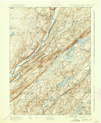
1893 Map of Wallpack
USGS Topo · Published 1937About this map
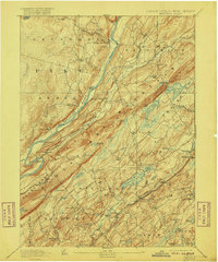
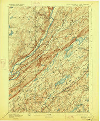
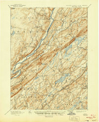
Kittatinny Mountain dominates this landscape, forming a massive diagonal spine that separates the Delaware River valley from the lake-dotted lowlands of New Jersey. In the late 19th century, this region relied heavily on river crossings like Deckers Ferry and Smiths Ferry, as the steep terrain of the Ridge and Valley province funneled travel along the water. Small mountain gaps, most notably Culvers Gap, provided the only practical passage for inland movement toward settlements like Tuttles Corner and Layton.
Find a feature on this map
84 named features on this map. Tap any name to fly to it.
Don’t see what you’re looking for? This feature index may not catch every label — zoom into the map to look around manually.
Map Details
Editions of this 1893 Wallpack Map
8 editions found
Other maps of this area

1888 · Franklin
USGS Topo · 1:62,500

1888 · Hackettstown
USGS Topo · 1:62,500

1888 · Lake Hopatcong
USGS Topo · 1:62,500

1891 · Wallpack
USGS Topo · 1:62,500

1891 · Delaware Water Gap
USGS Topo · 1:62,500

1893 · Delaware Water Gap
USGS Topo · 1:62,500

1893 · Wallpack
USGS Topo · 1:62,500

1894 · Hackettstown
USGS Topo · 1:62,500

1894 · Lake Hopatcong
USGS Topo · 1:62,500

1894 · Franklin
USGS Topo · 1:62,500