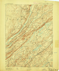
1893 Map of Wallpack
USGS Topo · Published 1893About this map
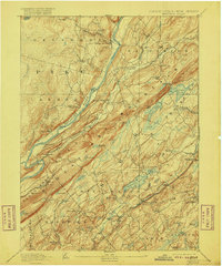
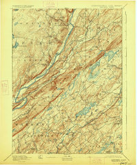
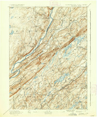
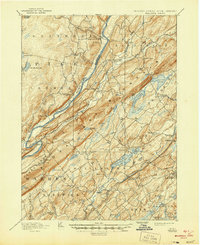
Kittatinny Mountain dominates the landscape of this late nineteenth-century survey, creating a formidable ridge that separates the Flatbrook Valley from the southeastern lowlands. The Delaware River winds along the western edge of the mountain, serving as a critical artery for local commerce and transit. Along its banks, established crossings like Smiths Ferry, Deckers Ferry, and Dingmans Ferry provided essential links between the Pennsylvania and New Jersey sides of the river before the era of widespread bridging.
Find a feature on this map
79 named features on this map. Tap any name to fly to it.
Don’t see what you’re looking for? This feature index may not catch every label — zoom into the map to look around manually.
Map Details
Editions of this 1893 Wallpack Map
8 editions found
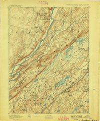
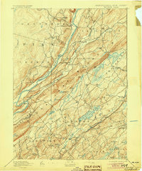
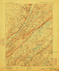
Other maps of this area

1888 · Franklin
USGS Topo · 1:62,500

1888 · Hackettstown
USGS Topo · 1:62,500

1888 · Lake Hopatcong
USGS Topo · 1:62,500

1891 · Wallpack
USGS Topo · 1:62,500

1891 · Delaware Water Gap
USGS Topo · 1:62,500

1893 · Delaware Water Gap
USGS Topo · 1:62,500

1894 · Hackettstown
USGS Topo · 1:62,500

1894 · Lake Hopatcong
USGS Topo · 1:62,500
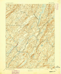
1894 · Franklin
USGS Topo · 1:62,500
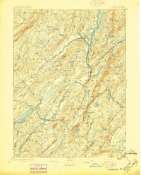
1897 · Franklin
USGS Topo · 1:62,500