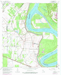
1963 Map of Walls
USGS Topo · Published 1980About this map
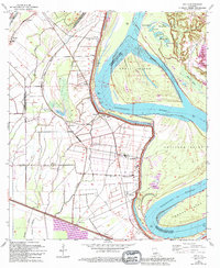
The Mississippi River dominates this mid-century survey of West Baton Rouge Parish, carving a wide path past Profit Island and Solitude Point. The landscape is defined by the tension between the river and the inland bayous, with a prominent Levee system protecting the low-lying agricultural lands. Settlement patterns follow the river bend and the Texas and Pacific railroad line, which connects small communities like Smithfield and Chamberlin.
Find a feature on this map
55 named features on this map. Tap any name to fly to it.
Don’t see what you’re looking for? This feature index may not catch every label — zoom into the map to look around manually.
Map Details
Editions of this 1963 Walls Map
5 editions found
Other maps of this area

1906 · Bayou Sara
USGS Topo · 1:125,000

1908 · Baton Rouge
USGS Topo · 1:62,500

1939 · Zachary
USGS Topo · 1:62,500

1939 · Baton Rouge
USGS Topo · 1:62,500

1940 · Grosse Tete
USGS Topo · 1:62,500

1953 · Baton Rouge West
USGS Topo · 1:24,000

1953 · Lobdell
USGS Topo · 1:24,000

1953 · New Roads
USGS Topo · 1:24,000

1954 · Zachary
USGS Topo · 1:24,000

1954 · Port Hudson
USGS Topo · 1:24,000