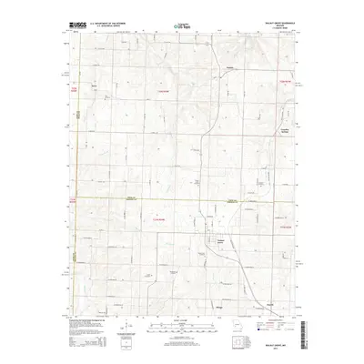
2015 Map of Walnut Grove
USGS Topo · Published 2015About this map
Walnut Grove and its surrounding rural townships sit at the intersection of Greene, Polk, and Dade counties in Southwest Missouri. The landscape is defined by the headwaters of the Sac River and a network of seasonal streams including Turkey Cr and Sugar Cr. This area maintains a strong agricultural character, reflected in the intricate system of farm roads such as W Farm Road 22 and E 560th Rd. Local history is anchored by several family and community burial grounds, including Leeper Cemetery, Williamson Cemetery, and the King Cemetery further north.
Find a feature on this map
75 named features on this map. Tap any name to fly to it.
Don’t see what you’re looking for? This feature index may not catch every label — zoom into the map to look around manually.
Map Details
Editions of this 2015 Walnut Grove Map
This is the sole edition of this map. No revisions or reprints were ever made.
Other maps of this area

1884 · Springfield
USGS Topo · 1:125,000

1884 · Bolivar
USGS Topo · 1:125,000

1886 · Stockton
USGS Topo · 1:125,000

1886 · Greenfield
USGS Topo · 1:125,000

1886 · Springfield
USGS Topo · 1:125,000

1888 · Greenfield
USGS Topo · 1:125,000

1892 · Bolivar
USGS Topo · 1:125,000

1948 · Willard
USGS Topo · 1:24,000

1954 · Springfield
USGS Topo · 1:250,000

1955 · Dadeville
USGS Topo · 1:24,000