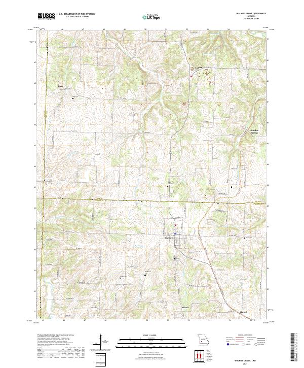
2021 Map of Walnut Grove
USGS Topo · Published 2021About this map
Walnut Grove serves as the central hub of this Missouri landscape where the borders of Greene, Polk, and Dade counties meet. The area’s geography is defined by the transition from the Sac River in the west to the numerous small drainages like Turkey Creek and Sugar Creek that carve the terrain. A notable transportation legacy is preserved in the Frisco Highline Trail, which follows the path of a former rail line through the settlements of Phenix and Graydon Springs. The rural character of the region is punctuated by a high density of small family and community burial grounds, such as Green Lawn Cemetery and Leeper Cemetery, providing significant points of interest for genealogical research. The presence of Eudora Spring and Leith Spring near Eudora highlights the importance of natural water sources in the historical development of these Ozark foothills communities.
Find a feature on this map
85 named features on this map. Tap any name to fly to it.
Don’t see what you’re looking for? This feature index may not catch every label — zoom into the map to look around manually.
Map Details
Editions of this 2021 Walnut Grove Map
This is the sole edition of this map. No revisions or reprints were ever made.
Other maps of this area

1884 · Springfield
USGS Topo · 1:125,000

1884 · Bolivar
USGS Topo · 1:125,000

1886 · Stockton
USGS Topo · 1:125,000

1886 · Greenfield
USGS Topo · 1:125,000

1886 · Springfield
USGS Topo · 1:125,000

1888 · Greenfield
USGS Topo · 1:125,000

1892 · Bolivar
USGS Topo · 1:125,000

1948 · Willard
USGS Topo · 1:24,000

1954 · Springfield
USGS Topo · 1:250,000

1955 · Dadeville
USGS Topo · 1:24,000