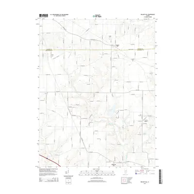
2015 Map of Walnut Hill
USGS Topo · Published 2015About this map
The Marion Co and Jefferson Co line bisects this landscape, where the Big Muddy River meanders southward through a network of rural settlements. This 2015 survey reveals a terrain defined by family-named landmarks and historical burial grounds, such as Little Grove Cem and Gilead Cem. The settlement of Walnut Hill sits at a prominent crossroads near Creeds Hill, while smaller communities like Cravat and Boyd are connected by a grid of numbered roads and lanes. The presence of numerous cemeteries, including Fouts Cem, Piskey Cem, and Locust Grove Cem, provides significant points of interest for genealogists tracing regional family history. In the south, Jefferson City lies near the banks of Rayse Cr, illustrating the continued importance of watercourses and elevation in the local geography of southern Illinois.
Find a feature on this map
69 named features on this map. Tap any name to fly to it.
Don’t see what you’re looking for? This feature index may not catch every label — zoom into the map to look around manually.
Map Details
Editions of this 2015 Walnut Hill Map
This is the sole edition of this map. No revisions or reprints were ever made.
Other maps of this area

1914 · Centralia
USGS Topo · 1:62,500

1933 · Mount Vernon
USGS Topo · 1:48,000

1934 · Salem
USGS Topo · 1:62,500

1935 · Centralia
USGS Topo · 1:62,500

1938 · Salem
USGS Topo · 1:62,500

1940 · Mount Vernon
USGS Topo · 1:62,500

1943 · Ashley
USGS Topo · 1:62,500

1946 · Ashley
USGS Topo · 1:62,500

1958 · Belleville
USGS Topo · 1:250,000

1962 · Belleville
USGS Topo · 1:250,000