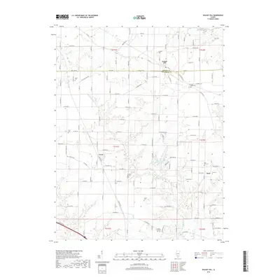
2018 Map of Walnut Hill
USGS Topo · Published 2018About this map
The Big Muddy River meanders across this rural Illinois landscape where the borders of Marion and Jefferson Counties meet. This 2018 survey documents a region characterized by small agricultural settlements and family-named landmarks. Walnut Hill sits at the northern edge, anchored by Creeds Hill, while smaller communities like Cravat and Boyd are situated further south and east. The map provides significant genealogical value through its many burial grounds, including the Gilead Cem, Little Grove Cem, and Locust Grove Cem. To the east, Superior Lake and Snow Cr break up the mosaic of county roads such as Oniontown Rd and Bundyville Rd. The presence of several family plots, like the Boyd Farm Cem, suggests a long history of local farmstead tenure in this part of Southern Illinois.
Find a feature on this map
118 named features on this map. Tap any name to fly to it.
Don’t see what you’re looking for? This feature index may not catch every label — zoom into the map to look around manually.
Map Details
Editions of this 2018 Walnut Hill Map
This is the sole edition of this map. No revisions or reprints were ever made.
Other maps of this area

1914 · Centralia
USGS Topo · 1:62,500

1933 · Mount Vernon
USGS Topo · 1:48,000

1934 · Salem
USGS Topo · 1:62,500

1935 · Centralia
USGS Topo · 1:62,500

1938 · Salem
USGS Topo · 1:62,500

1940 · Mount Vernon
USGS Topo · 1:62,500

1943 · Ashley
USGS Topo · 1:62,500

1946 · Ashley
USGS Topo · 1:62,500

1958 · Belleville
USGS Topo · 1:250,000

1962 · Belleville
USGS Topo · 1:250,000