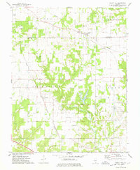
1974 Map of Walnut Hill
USGS Topo · Published 1978About this map
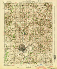
The Base Line serves as a critical surveying divide on this map, separating the townships of Marion and Jefferson counties. Walnut Hill sits at the northern edge, where the Southern railroad cuts across the prairie landscape towards Creeds Hill. The land use here is a mix of agricultural expanses like Grand Prairie and industrial zones, most notably the Boyd Oil Field located near the small settlement of Boyd.
Find a feature on this map
33 named features on this map. Tap any name to fly to it.
Don’t see what you’re looking for? This feature index may not catch every label — zoom into the map to look around manually.
Map Details
Editions of this 1974 Walnut Hill Map
This is the sole edition of this map. No revisions or reprints were ever made.
Other maps of this area

1914 · Centralia
USGS Topo · 1:62,500
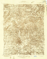
1933 · Mount Vernon
USGS Topo · 1:48,000
1934 · Salem
USGS Topo · 1:62,500

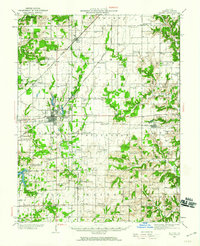
1935 · Centralia
USGS Topo · 1:62,500
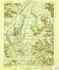
1938 · Salem
USGS Topo · 1:62,500
1940 · Mount Vernon
USGS Topo · 1:62,500

1943 · Ashley
USGS Topo · 1:62,500

1946 · Ashley
USGS Topo · 1:62,500

1958 · Belleville
USGS Topo · 1:250,000

1962 · Belleville
USGS Topo · 1:250,000